


 География
Похожие презентации:


The capital of Buryatia. The Ulan-Ude
1.
Ivanov Pavel05411
The capital of Buryatia. The Ulan-Ude
History, climate, districts, attractions
2.
HistoryThe beginning is connected with
the Cossack winter hut, which was
built to collect yasak from the local
population. A couple of decades
later, by tsar decree, they ordered
the construction of the Udinsky
burg on this site.
Founded in 1666
Comparing the past and our time
At the beginning of the eighteenth
century, the burg was renamed
the city of Verkhneudinsk. The
territory begins to be built up as
an urban area and is part of the
Irkutsk vicegerency.
2
3.
HistoryBy the beginning of the
twentieth century, about thirty
educational institutions
worked in the city, the first
cars and telephone
communications appeared.
By the decision of the
revolutionary authorities, the
city became the capital of the
newly created Far Eastern
Republic, then the Baikal
province, and, finally, the
Buryat-Mongol ASSR.
3
4.
СlimateUlan Ude has a extra continental climate.
There have been times when in January the
thermometer dropped to -54 degrees. The
absolute summer maximum is 40 degrees. The
sun shines almost 260 days a year, but there
are very few rainy days and 265 millimeters of
precipitation falls per year. Mainly July and
August. The air humidity does not exceed 65
percent.
Despite the fact that the climate in the city
is arid, it was plagued by numerous floods
in the 19th century, until a large shaft was
poured separating the Udu River from the
urban settlement.
4
5.
Ulan-Ude city is divided into 3 city districtsSovetsky district
Zheleznodorozhny district
Oktyabrsky district
5
6.
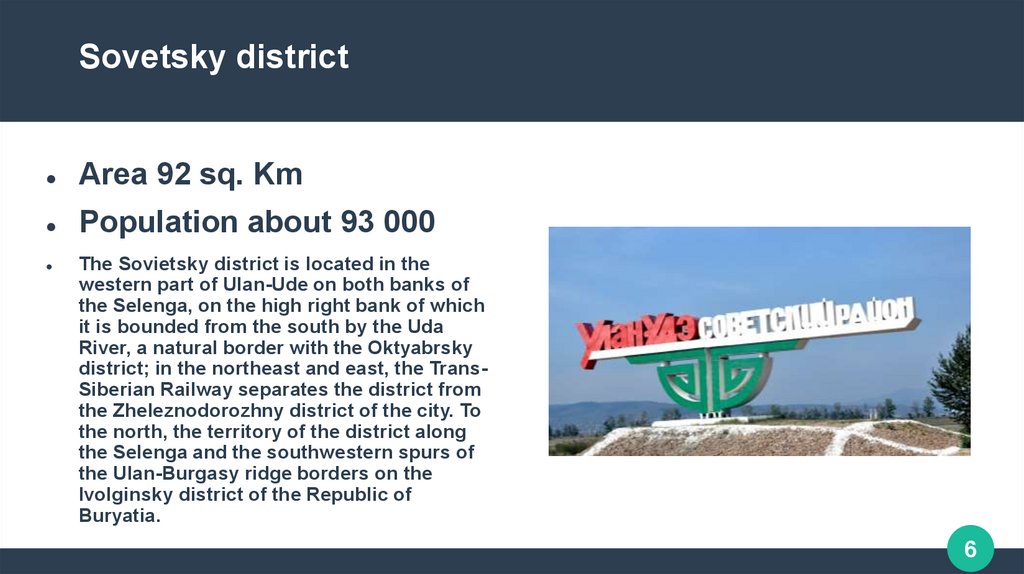
Sovetsky districtArea 92 sq. Km
Population about 93 000
The Sovietsky district is located in the
western part of Ulan-Ude on both banks of
the Selenga, on the high right bank of which
it is bounded from the south by the Uda
River, a natural border with the Oktyabrsky
district; in the northeast and east, the TransSiberian Railway separates the district from
the Zheleznodorozhny district of the city. To
the north, the territory of the district along
the Selenga and the southwestern spurs of
the Ulan-Burgasy ridge borders on the
Ivolginsky district of the Republic of
Buryatia.
6
7.
Zheleznodorozhny districtArea 142 sq. Km
Population about 142 000
Zheleznodorozhny district is located in the
northeastern part of Ulan-Ude, rising from
the right bank of the Selenga and Uda
rivers to the southwestern spurs of the
Ulan-Burgasy ridge. In the center of the
city, along the Trans-Siberian Railway, it
borders on the Sovetsky District, in the
southeast the Uda River is a natural
border with the Oktyabrsky District, in the
east the district adjoins the Zaigraevsky
District of the Republic of Buryatia.
7
8.
Oktyabrsky districtArea 203 sq. Km
Population about 204 000
The Oktyabrsky district is located in the
southern and southeastern parts of UlanUde, on the left bank of the Uda River,
which, respectively, from the north and
northeast is a natural border with the
Soviet and Zheleznodorozhny districts of
the city. In the east, the Oktyabrsky district
borders on a small area adjacent to the
Trans-Siberian Railway with the
Zaigraevsky district of the republic.
8
9.
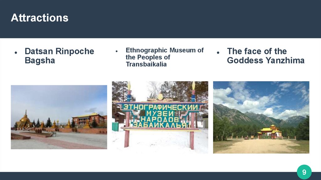
AttractionsDatsan Rinpoche
Bagsha
Ethnographic Museum of
the Peoples of
Transbaikalia
The face of the
Goddess Yanzhima
9
10.
AttractionsMusical fountain
State Russian Drama
Theater named after N.
A. Bestuzhev
Ulger Puppet Theater
10