 География
Похожие презентации:


Location map
1.
From: Re-Os and U-Pb Geochronology of the Doña Amanda and Cerro Kiosko Deposits, Bayaguana District,Dominican Republic: Looking Down for the Porphyry Cu-Mo Roots of the Pueblo Viejo-Type Mineralization in
the Island-Arc Tholeiitic Series of the Caribbean☼
Economic Geology. 2017;112(4):829-853. doi:10.2113/econgeo.112.4.829
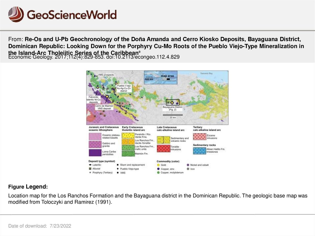
Figure Legend:
Location map for the Los Ranchos Formation and the Bayaguana district in the Dominican Republic. The geologic base map was
modified from Toloczyki and Ramirez (1991).
Date of download: 7/23/2022
© 2017 Society of Economic Geologists.