


 Английский язык
Похожие презентации:


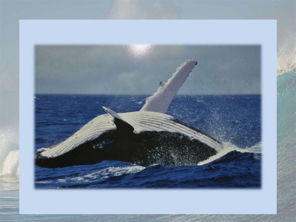
Oceans
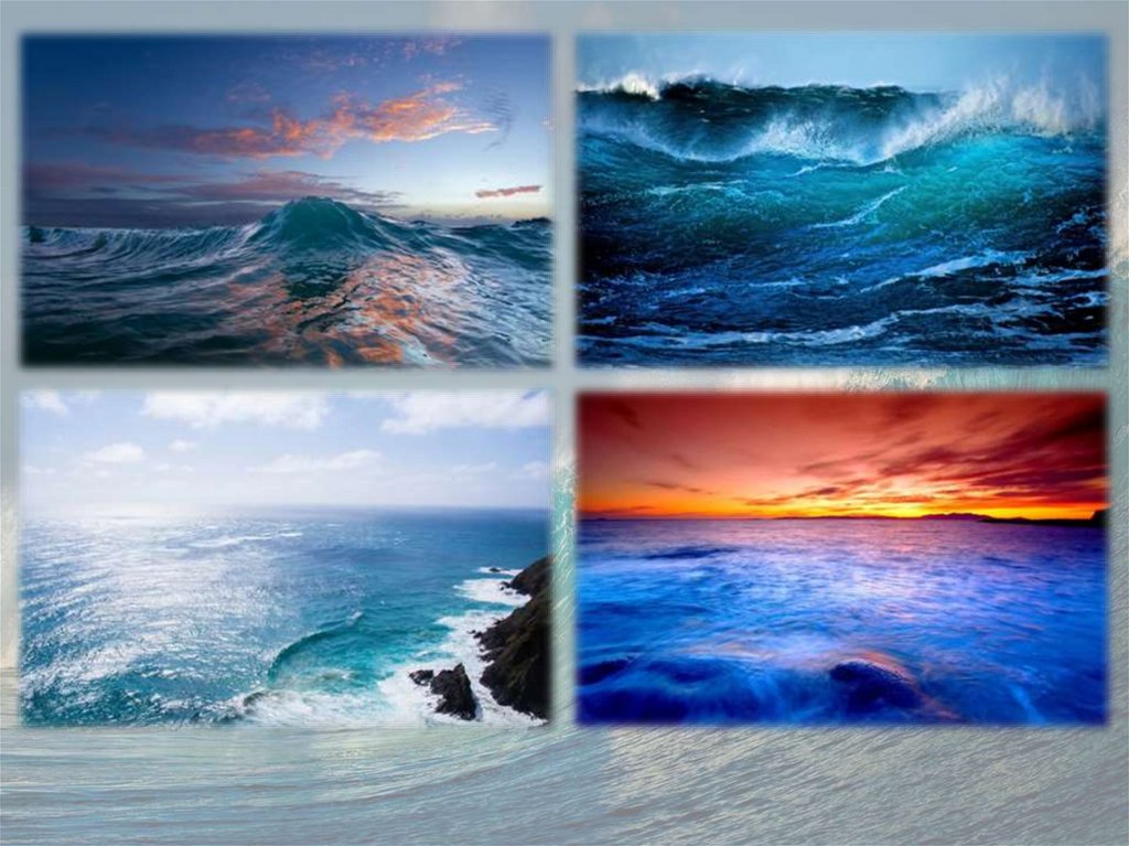
1.
2.
3.
4.
5.
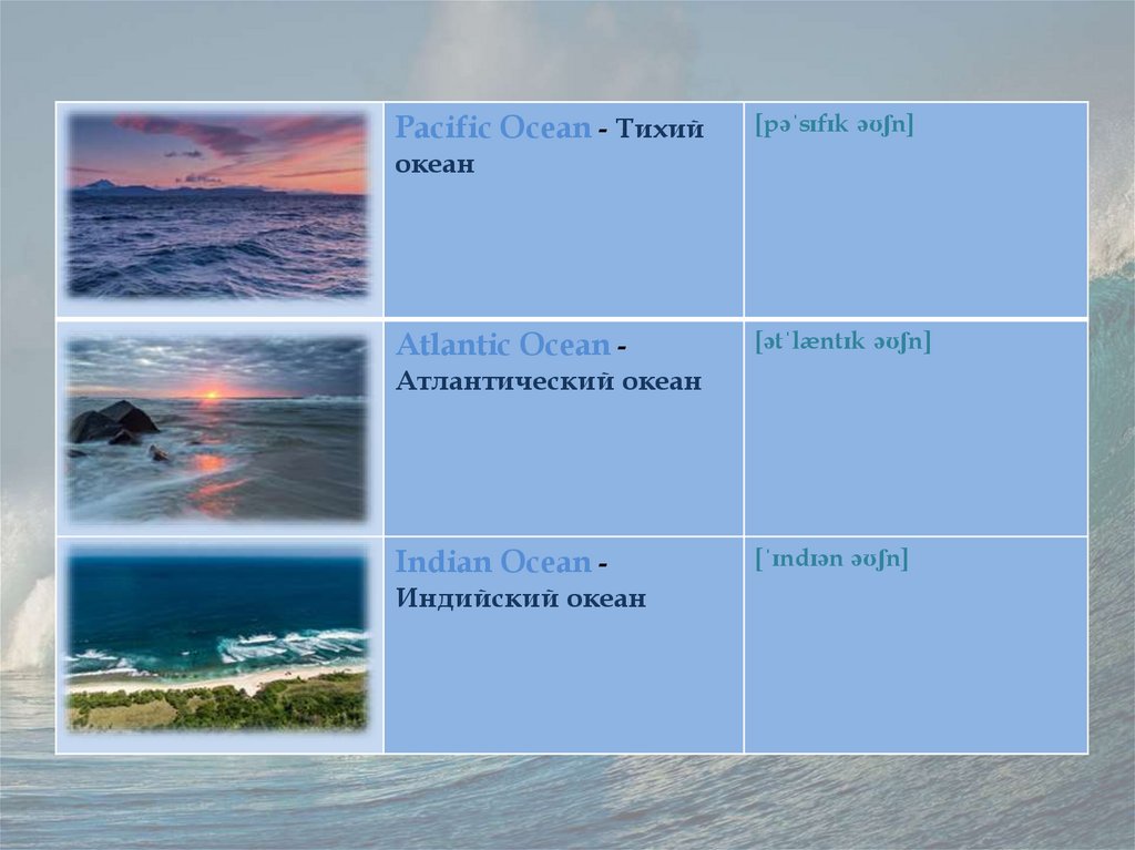
Pacific Ocean - Тихий[pəˈsɪfɪk əʊʃn]
океан
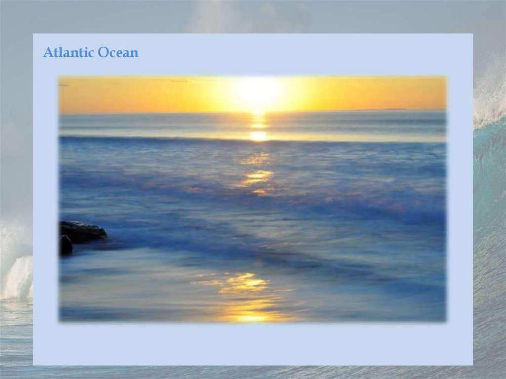
Atlantic Ocean -
[ətˈlæntɪk əʊʃn]
Атлантический океан
Indian Ocean Индийский океан
[ˈɪndɪən əʊʃn]
6.
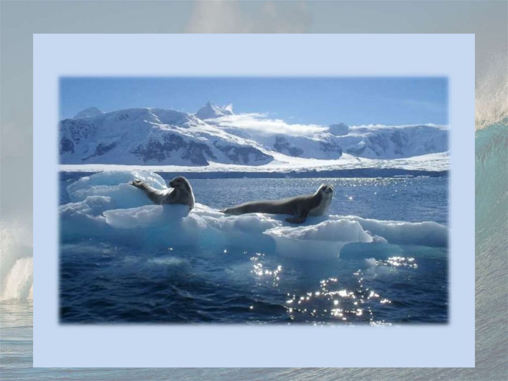
Southern Ocean -[ˈsʌðən əʊʃn]
Южный океан
Arctic Ocean Северный Ледовитый
океан
[ˈɑːktɪk əʊʃn]
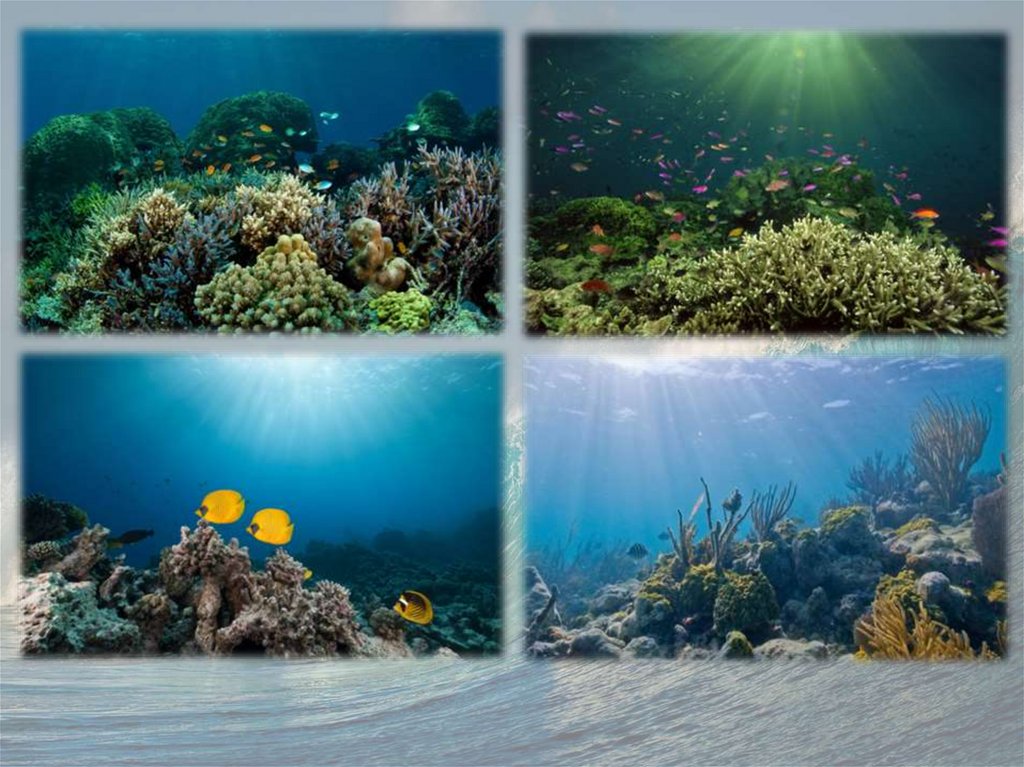
7.
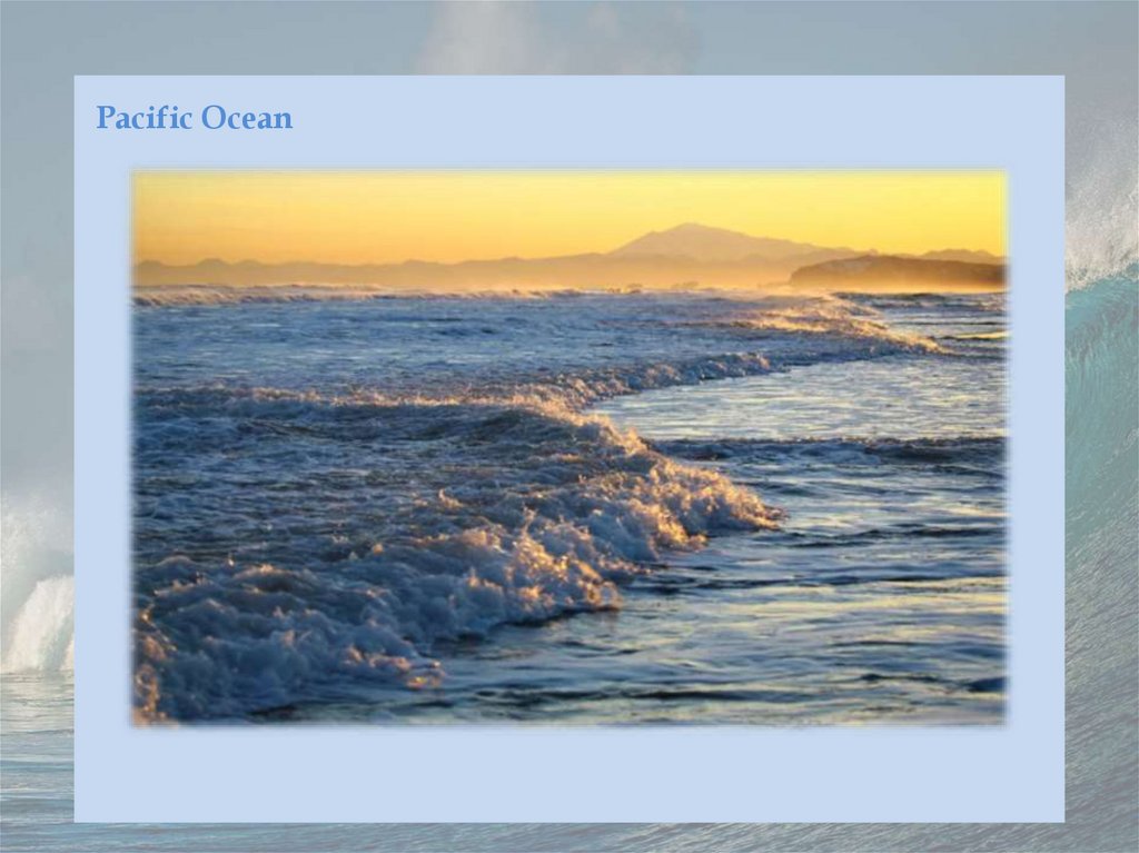
Pacific Ocean8.
9.
10.
The Pacific Ocean is the largest and deepest of Earth's oceanic divisions. It extends from the ArcticOcean in the north to the Southern Ocean (or, depending on definition, to Antarctica) in the south
and is bounded by the continents of Asia and Australia in the west and the Americas in the east.
At 165,250,000 square kilometers (63,800,000 square miles) in the area (as defined with a southern
Antarctic border), this largest division of the World Ocean—and, in turn, the hydrosphere—covers
about 46% of Earth's water surface and about 32% of its total surface area, making it larger than all
of Earth's land area combined (148,000,000 square kilometers). The centers of both the Water
Hemisphere and the Western Hemisphere are in the Pacific Ocean. Ocean circulation (caused by
the Coriolis effect) subdivides it into two largely independent volumes of water, which meet at
the equator: the North(ern) Pacific Ocean and South(ern) Pacific Ocean. The Galápagos and
Gilbert Islands, while straddling the equator, are deemed wholly within the South Pacific.
Its mean depth is 4,000 meters (13,000 feet). Challenger Deep in the Mariana Trench, located in the
western north Pacific, is the deepest point in the world, reaching a depth of 10,928 meters (35,853
feet). The Pacific also contains the deepest point in the Southern Hemisphere, the Horizon Deep
in the Tonga Trench, at 10,823 meters (35,509 feet). The third deepest point on Earth, the Sirena
Deep, is also located in the Mariana Trench.
The western Pacific has many major marginal seas, including the South China Sea, the East China
Sea, the Sea of Japan, the Sea of Okhotsk, the Philippine Sea, the Coral Sea, and the Tasman Sea.
11.
Atlantic Ocean12.
13.
14.
The Atlantic Ocean is the second-largest of the world's oceans, with an area of about 106,460,000km2 (41,100,000 sq mi). It covers approximately 20 percent of Earth's surface and about 29 percent
of its water surface area. It is known to separate the "Old World" from the "New World" in the
European perception of the World.
The Atlantic Ocean occupies an elongated, S-shaped basin extending longitudinally between
Europe and Africa to the east, and the Americas to the west. As one component of the
interconnected World Ocean, it is connected in the north to the Arctic Ocean, to the Pacific Ocean
in the southwest, the Indian Ocean in the southeast, and the Southern Ocean in the south (other
definitions describe the Atlantic as extending southward to Antarctica). The Atlantic Ocean is
divided into two parts, by the Equatorial Counter Current, with the North(ern) Atlantic Ocean and
the South(ern) Atlantic Ocean at about 8°N.
Scientific explorations of the Atlantic include the Challenger expedition, the German Meteor
expedition, Columbia University's Lamont-Doherty Earth Observatory and the United States Navy
Hydrographic Office.
15.
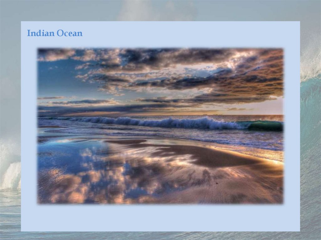
Indian Ocean16.
17.
18.
The Indian Ocean is the third-largest of the world's oceanic divisions, covering 70,560,000 km2(27,240,000 sq mi) or 19.8% of the water on Earth's surface. It is bounded by Asia to the north,
Africa to the west and Australia to the east. To the south it is bounded by the Southern Ocean or
Antarctica, depending on the definition in use. Along its core, the Indian Ocean has some large
marginal or regional seas such as the Arabian Sea, the Laccadive Sea, the Somali Sea, Bay of
Bengal, and the Andaman Sea.
In contrast to the Atlantic and Pacific, the Indian Ocean is enclosed by major landmasses and an
archipelago on three sides and does not stretch from pole to pole, and can be likened to an
embayed ocean. It is centered on the Indian Peninsula. Although this subcontinent has played a
significant role in its history, the Indian Ocean has foremostly been a cosmopolitan stage,
interlinking diverse regions by innovations, trade, and religion since early in human history.
The active margins of the Indian Ocean have an average depth (land to shelf break) of 19 ± 0.61
km (11.81 ± 0.38 mi) with a maximum depth of 175 km (109 mi). The passive margins have an
average depth of 47.6 ± 0.8 km (29.58 ± 0.50 mi). The average width of the slopes of the continental
shelves are 50.4–52.4 km (31.3–32.6 mi) for active and passive margins respectively, with a
maximum depth of 205.3–255.2 km (127.6–158.6 mi).
Australia, Indonesia, and India are the three countries with the longest shorelines and exclusive
economic zones. The continental shelf makes up 15% of the Indian Ocean. More than two billion
people live in countries bordering the Indian Ocean, compared to 1.7 billion for the Atlantic and
2.7 billion for the Pacific (some countries border more than one ocean).
19.
Southern Ocean20.
21.
22.
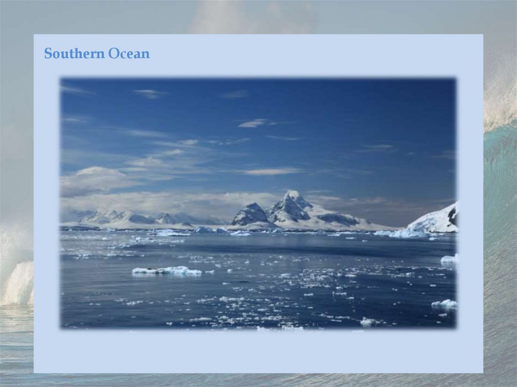
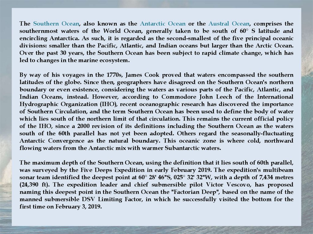
The Southern Ocean, also known as the Antarctic Ocean or the Austral Ocean, comprises thesouthernmost waters of the World Ocean, generally taken to be south of 60° S latitude and
encircling Antarctica. As such, it is regarded as the second-smallest of the five principal oceanic
divisions: smaller than the Pacific, Atlantic, and Indian oceans but larger than the Arctic Ocean.
Over the past 30 years, the Southern Ocean has been subject to rapid climate change, which has
led to changes in the marine ecosystem.
By way of his voyages in the 1770s, James Cook proved that waters encompassed the southern
latitudes of the globe. Since then, geographers have disagreed on the Southern Ocean's northern
boundary or even existence, considering the waters as various parts of the Pacific, Atlantic, and
Indian Oceans, instead. However, according to Commodore John Leech of the International
Hydrographic Organization (IHO), recent oceanographic research has discovered the importance
of Southern Circulation, and the term Southern Ocean has been used to define the body of water
which lies south of the northern limit of that circulation. This remains the current official policy
of the IHO, since a 2000 revision of its definitions including the Southern Ocean as the waters
south of the 60th parallel has not yet been adopted. Others regard the seasonally-fluctuating
Antarctic Convergence as the natural boundary. This oceanic zone is where cold, northward
flowing waters from the Antarctic mix with warmer Subantarctic waters.
The maximum depth of the Southern Ocean, using the definition that it lies south of 60th parallel,
was surveyed by the Five Deeps Expedition in early February 2019. The expedition's multibeam
sonar team identified the deepest point at 60° 28' 46"S, 025° 32' 32"W, with a depth of 7,434 metres
(24,390 ft). The expedition leader and chief submersible pilot Victor Vescovo, has proposed
naming this deepest point in the Southern Ocean the "Factorian Deep", based on the name of the
manned submersible DSV Limiting Factor, in which he successfully visited the bottom for the
first time on February 3, 2019.
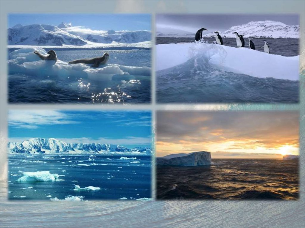
23.
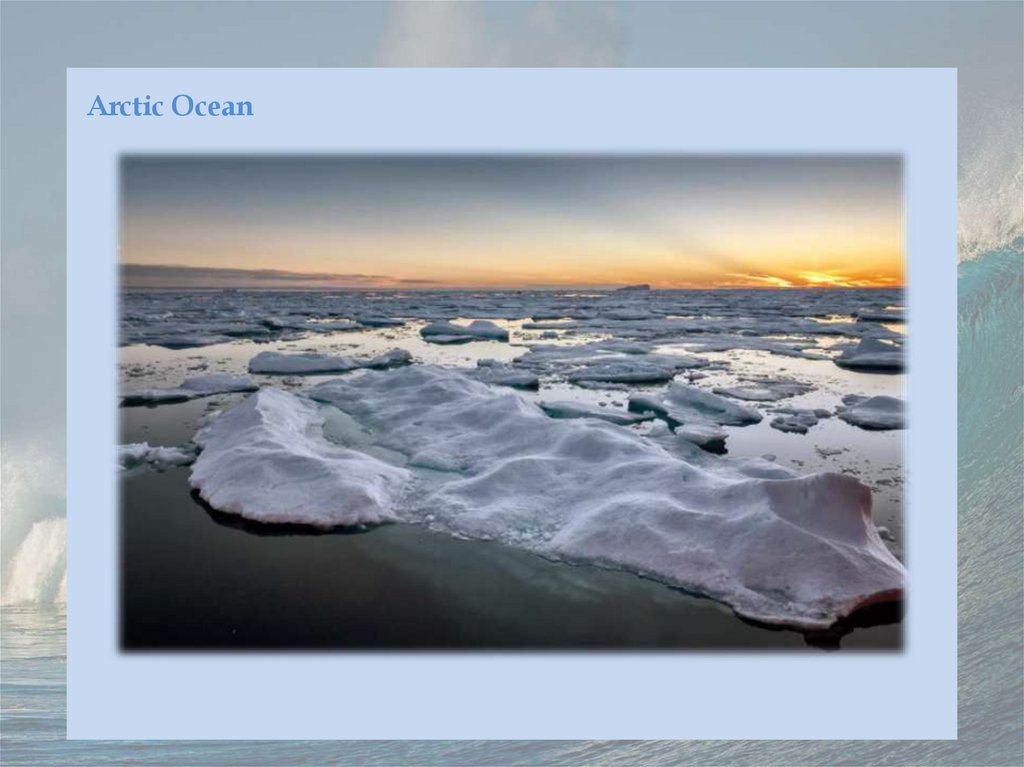
Arctic Ocean24.
25.
26.
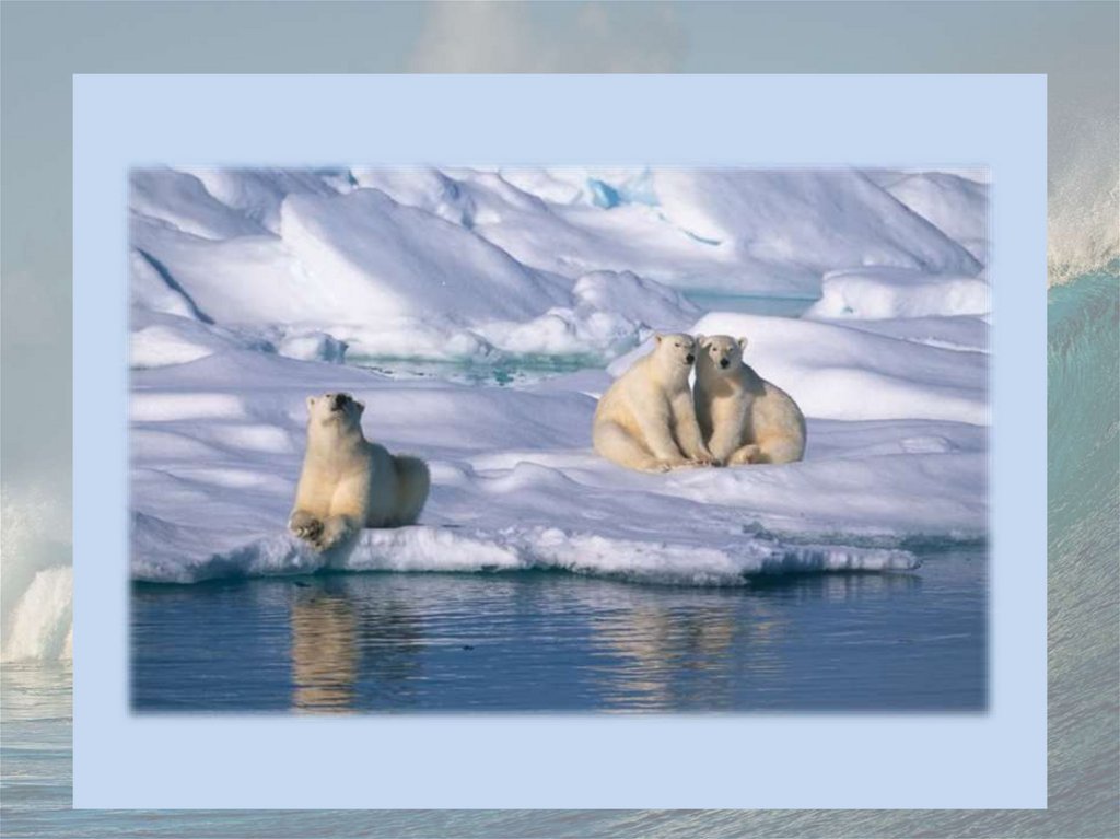
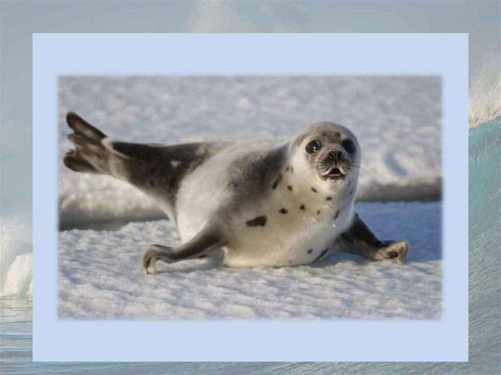
The Arctic Ocean is the smallest and shallowest of the world's five major oceans. It spans an areaof approximately 14,060,000 km2 (5,430,000 sq mi) and is also known as the coldest of all the
oceans. The International Hydrographic Organization (IHO) recognizes it as an ocean, although
some oceanographers call it the Arctic Mediterranean Sea. It has been described approximately as
an estuary of the Atlantic Ocean. It is also seen as the northernmost part of the all-encompassing
World Ocean.
The Arctic Ocean includes the North Pole region in the middle of the Northern Hemisphere and
extends south to about 60°N. The Arctic Ocean is surrounded by Eurasia and North America, and
the borders follow topographic features: the Bering Strait on the Pacific side and the Greenland
Scotland Ridge on the Atlantic side. It is mostly covered by sea ice throughout the year and almost
completely in winter. The Arctic Ocean's surface temperature and salinity vary seasonally as the
ice cover melts and freezes; its salinity is the lowest on average of the five major oceans, due to
low evaporation, heavy fresh water inflow from rivers and streams, and limited connection and
outflow to surrounding oceanic waters with higher salinities. The summer shrinking of the ice has
been quoted at 50 %. The US National Snow and Ice Data Center (NSIDC) uses satellite data to
provide a daily record of Arctic sea ice cover and the rate of melting compared to an average
period and specific past years, showing a continuous decline in sea ice extent. In September 2012,
the Arctic ice extent reached a new record minimum. Compared to the average extent (1979–2000),
the sea ice had diminished by 49 %.