 Образование
Похожие презентации:


The development of cadastre in Kazakhstan z completed by students
1.
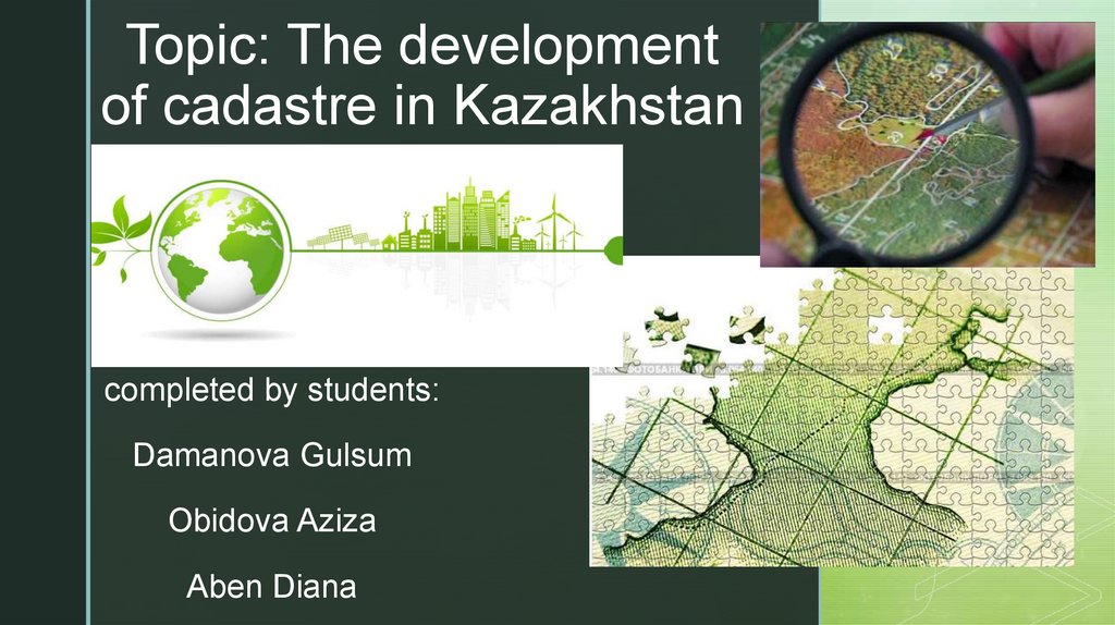
Topic: The developmentof cadastre in Kazakhstan
z
completed by students:
Damanova Gulsum
Obidova Aziza
Aben Diana
2.
Мain questions:~whatzis a cadastre?
~why do you need a cadastre?
~cadastral history
~Worldwide cadastre
~cadastre in Kazakhstan
3.
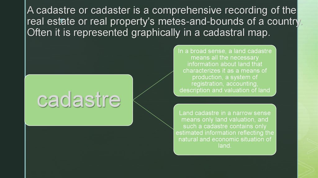
A cadastre or cadaster is a comprehensive recording of thez
real estate
or real property's metes-and-bounds of a country.
Often it is represented graphically in a cadastral map.
cadastre
In a broad sense, a land cadastre
means all the necessary
information about land that
characterizes it as a means of
production, a system of
registration, accounting,
description and valuation of land
Land cadastre in a narrow sense
means only land valuation, and
such a cadastre contains only
estimated information reflecting the
natural and economic situation of
land.
4.
The main directions of the stateadministration:
~Creation of a single register of databases
on property law
~Registration of the characteristics of each
property.
~Amendments to the technical, graphic,
legal characteristics of the property.
~Exclusion of property from the reestr
base.
5.
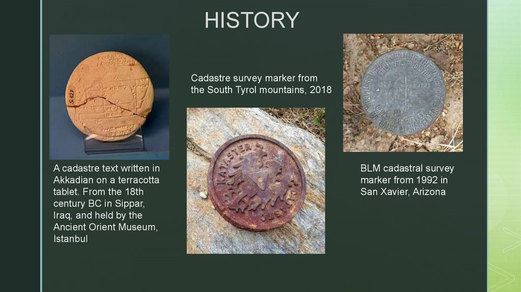
HISTORYCadastre survey marker from
the South Tyrol mountains, 2018
A cadastre text written in
Akkadian on a terracotta
tablet. From the 18th
century BC in Sippar,
Iraq, and held by the
Ancient Orient Museum,
Istanbul
BLM cadastral survey
marker from 1992 in
San Xavier, Arizona
6.
WorldwideIn the United States, Cadastral Survey within the Bureau of Land Management (BLM)
maintains records of all public lands. Such surveys often require detailed investigation
of the history of land use, legal accounts, and other documents.
The Public Lands Survey System is a cadastral survey of the United States
originating in legislation from 1785, after international recognition of the United
States. The Dominion Land Survey is a similar cadastral survey conducted in
Western Canada begun in 1871 after the creation of the Dominion of Canada in 1867.
Both cadastral surveys are made relative to principal meridian and baselines. These
cadastral surveys divided the surveyed areas into townships, square land areas of
approximately 36 square miles (six miles by six miles; some very early surveys in
Ohio created 25 square mile townships when the design of the system was being
explored). These townships are divided into sections, each approximately one-mile
square. Unlike in Europe this cadastral survey largely preceded settlement and as a
result greatly influenced settlement patterns. Properties are generally rectangular,
boundary lines often run on cardinal bearings, and parcel dimensions are often in
fractions or multiples of chains. Land descriptions in Western North America are
principally based on these land surveys.
7.
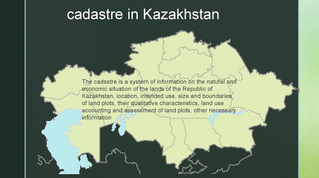
cadastre in KazakhstanThe cadastre is a system of information on the natural and
economic situation of the lands of the Republic of
Kazakhstan, location, intended use, size and boundaries
of land plots, their qualitative characteristics, land use
accounting and assessment of land plots, other necessary
information