
Похожие презентации:

")


Trends-and-Achievements-in-Geodesy-Precision-for-a-Changing-Earth (1)
1.
Trends and Achievementsin Geodes y: Precis ion for a
Changing E arth
Geodesy, the science of measuring Earth's shape, gravity, and rotation,
is more critical than ever. As our planet changes, the demand for ultraprecise spatial data continues to grow. This presentation explores the
latest advancements, global collaborations, and future challenges
shaping this vital field.
2.
The F oundation of Modern Geodes yMeas uring Our World
Underpinning K ey S ectors
Geodesy precisely measures Earth’s
This data is crucial for navigation,
shape, gravitational field, and
accurate mapping, environmental
rotational dynamics, providing
monitoring, and the development of
foundational data with centimetre-
critical infrastructure worldwide.
level accuracy.
Global S tandardis ation
The International Terrestrial Reference Frame (ITRF2020), released in 2022,
establishes the definitive global standard for all positioning data.
3.
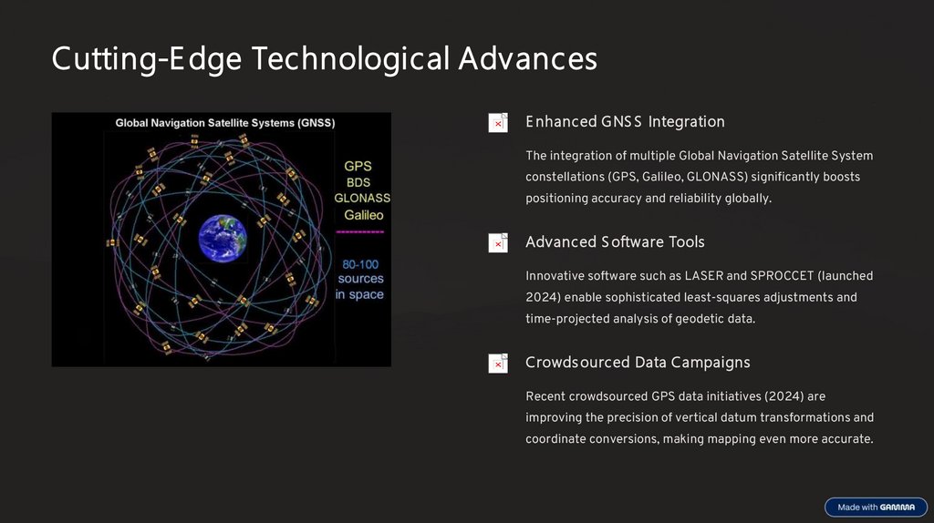
Cutting-E dge Technological AdvancesE nhanced GNS S Integration
The integration of multiple Global Navigation Satellite System
constellations (GPS, Galileo, GLONASS) significantly boosts
positioning accuracy and reliability globally.
Advanced S oftware Tools
Innovative software such as LASER and SPROCCET (launched
2024) enable sophisticated least-squares adjustments and
time-projected analysis of geodetic data.
Crowds ourced Data Campaigns
Recent crowdsourced GPS data initiatives (2024) are
improving the precision of vertical datum transformations and
coordinate conversions, making mapping even more accurate.
4.
Global Collaboration and R eference F rameModernis ation
WGS 84 E volution
GGOS Coordination
UN-GGIM Advoc acy
The World Geodetic System 1984 (WGS
The Global Geodetic Observing System
The UN-GGIM champions global
84) has been meticulously updated for
(GGOS) leads international efforts to
geodetic reference frames as essential
over 30 years, aligning with ITRF to
precisely monitor Earth system
infrastructure for sustainable
maintain sub-3cm accuracy for global
changes and their climatic impacts.
development and effective disaster
applications.
management.
5.
The E merging Geodes y Workforce Cris isA significant challenge facing the geodetic community today is the critical shortage of trained
geodesists. This "workforce crisis" has far-reaching implications, threatening national
security and economic competitiveness.
R is k to National S ecurity
The decline in geodetic expertise directly jeopardises the maintenance of precise
infrastructure vital for navigation, defence systems, and environmental monitoring.
E conomic Implications
Without sufficient skilled professionals, the economic competitiveness of nations
relying on accurate spatial data for innovation and development is at risk.
Call for Inves tment
There is an urgent need for increased investment in geodetic education, training
programmes, and international collaboration to safeguard future capabilities.
6.
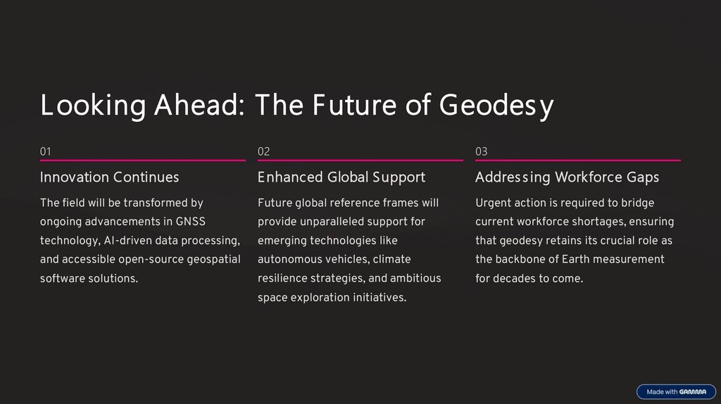
L ooking Ahead: The F uture of Geodes y01
02
03
Innovation Continues
E nhanced Global S upport
Addres s ing Workforce Gaps
The field will be transformed by
Future global reference frames will
Urgent action is required to bridge
ongoing advancements in GNSS
provide unparalleled support for
current workforce shortages, ensuring
technology, AI-driven data processing,
emerging technologies like
that geodesy retains its crucial role as
and accessible open-source geospatial
autonomous vehicles, climate
the backbone of Earth measurement
software solutions.
resilience strategies, and ambitious
for decades to come.
space exploration initiatives.