Похожие презентации:


англ преза
1.
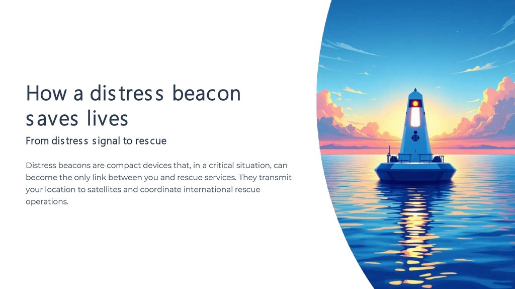
How a dis tres s beacons aves lives
From dis tres s s ignal to res cue
Distress beacons are compact devices that, in a critical situation, can
become the only link between you and rescue services. They transmit
your location to satellites and coordinate international rescue
operations.
2.
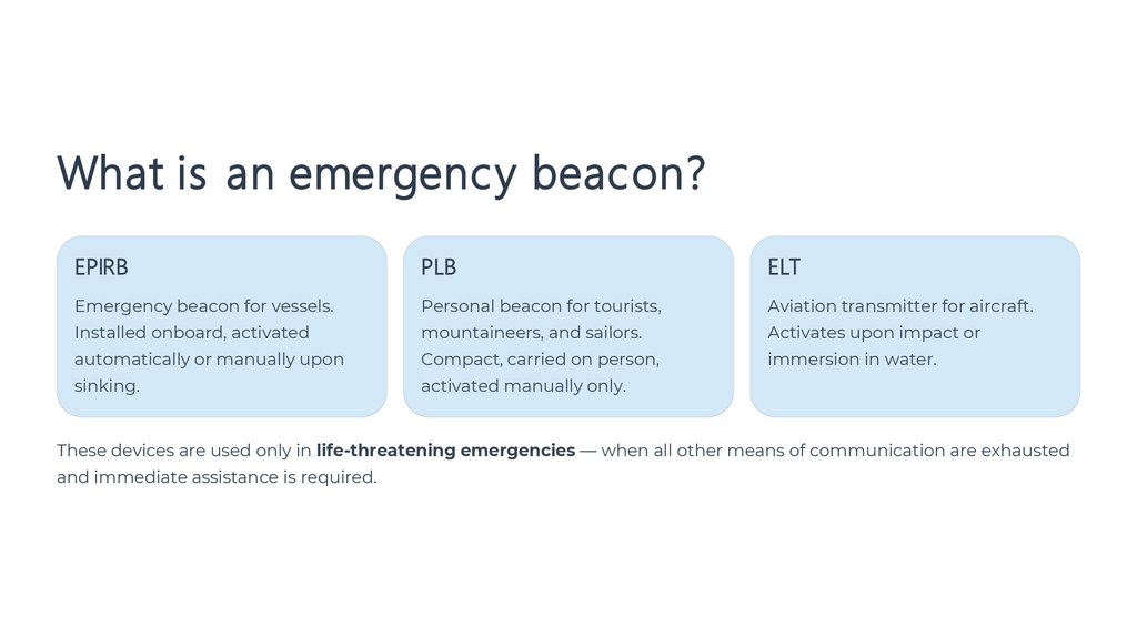
What is an emergency beacon?EPIRB
PLB
ELT
Emergency beacon for vessels.
Personal beacon for tourists,
Aviation transmitter for aircraft.
Installed onboard, activated
mountaineers, and sailors.
Activates upon impact or
automatically or manually upon
Compact, carried on person,
immersion in water.
sinking.
activated manually only.
These devices are used only in life-threatening emergencies — when all other means of communication are exhausted
and immediate assistance is required.
3.
One Signal — A Life SavedThe beacon transmits your unique identifier and precise coordinates, initiating a coordinated international rescue
operation.
4.
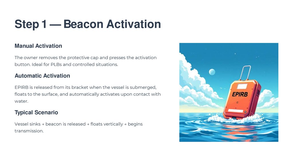
Step 1 — Beacon ActivationManual Activation
The owner removes the protective cap and presses the activation
button. Ideal for PLBs and controlled situations.
Automatic Activation
EPIRB is released from its bracket when the vessel is submerged,
floats to the surface, and automatically activates upon contact with
water.
Typical Scenario
Vessel sinks → beacon is released → floats vertically → begins
transmission.
5.
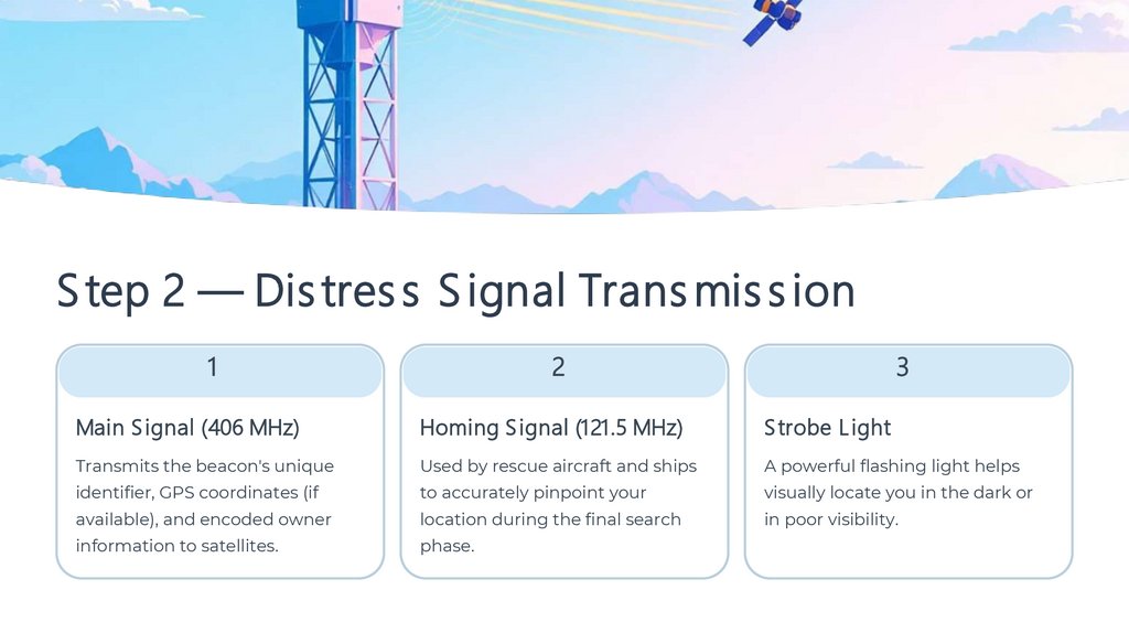
S tep 2 — Dis tres s S ignal Trans mis s ion1
2
3
Main S ignal (406 MHz)
Homing S ignal (121.5 MHz)
S trobe L ight
Transmits the beacon's unique
Used by rescue aircraft and ships
A powerful flashing light helps
identifier, GPS coordinates (if
to accurately pinpoint your
visually locate you in the dark or
available), and encoded owner
location during the final search
in poor visibility.
information to satellites.
phase.
6.
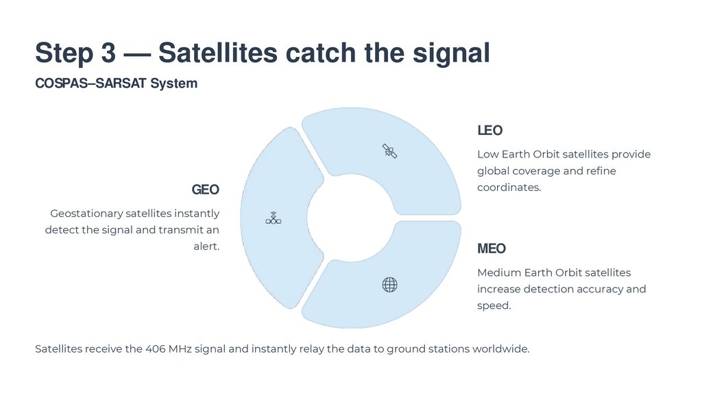
Step 3 — Satellites catch the signalCOSPAS–SARSAT System
LEO
Low Earth Orbit satellites provide
global coverage and refine
GEO
coordinates.
Geostationary satellites instantly
detect the signal and transmit an
alert.
MEO
Medium Earth Orbit satellites
increase detection accuracy and
speed.
Satellites receive the 406 MHz signal and instantly relay the data to ground stations worldwide.
7.
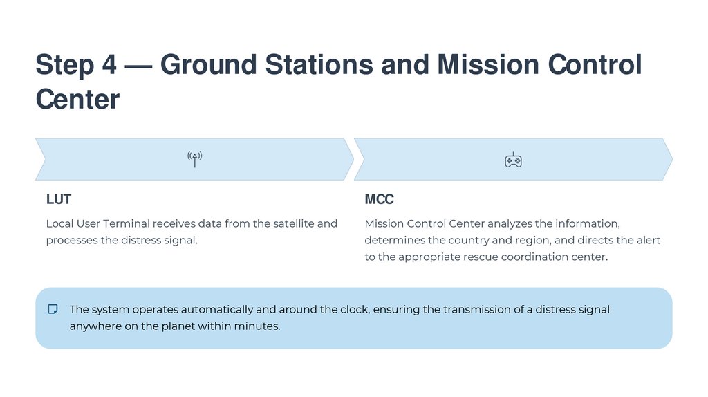
Step 4 — Ground Stations and Mission ControlCenter
LUT
MCC
Local User Terminal receives data from the satellite and
Mission Control Center analyzes the information,
processes the distress signal.
determines the country and region, and directs the alert
to the appropriate rescue coordination center.
The system operates automatically and around the clock, ensuring the transmission of a distress signal
anywhere on the planet within minutes.
8.
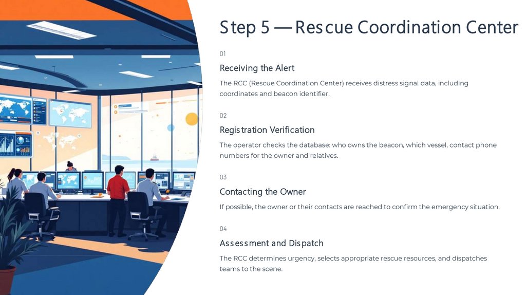
S tep 5 — Res cue Coordination Center01
Receiving the Alert
The RCC (Rescue Coordination Center) receives distress signal data, including
coordinates and beacon identifier.
02
Regis tration Verification
The operator checks the database: who owns the beacon, which vessel, contact phone
numbers for the owner and relatives.
03
Contacting the Owner
If possible, the owner or their contacts are reached to confirm the emergency situation.
04
As s es s ment and Dis patch
The RCC determines urgency, selects appropriate rescue resources, and dispatches
teams to the scene.
9.
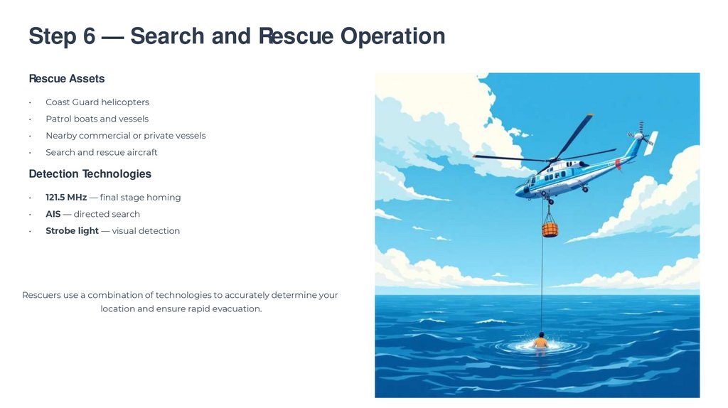
Step 6 — Search and Rescue OperationRescue Assets
Coast Guard helicopters
Patrol boats and vessels
Nearby commercial or private vessels
Search and rescue aircraft
Detection Technologies
121.5 MHz — final stage homing
AIS — directed search
Strobe light — visual detection
Rescuers use a combination of technologies to accurately determine your
location and ensure rapid evacuation.
10.
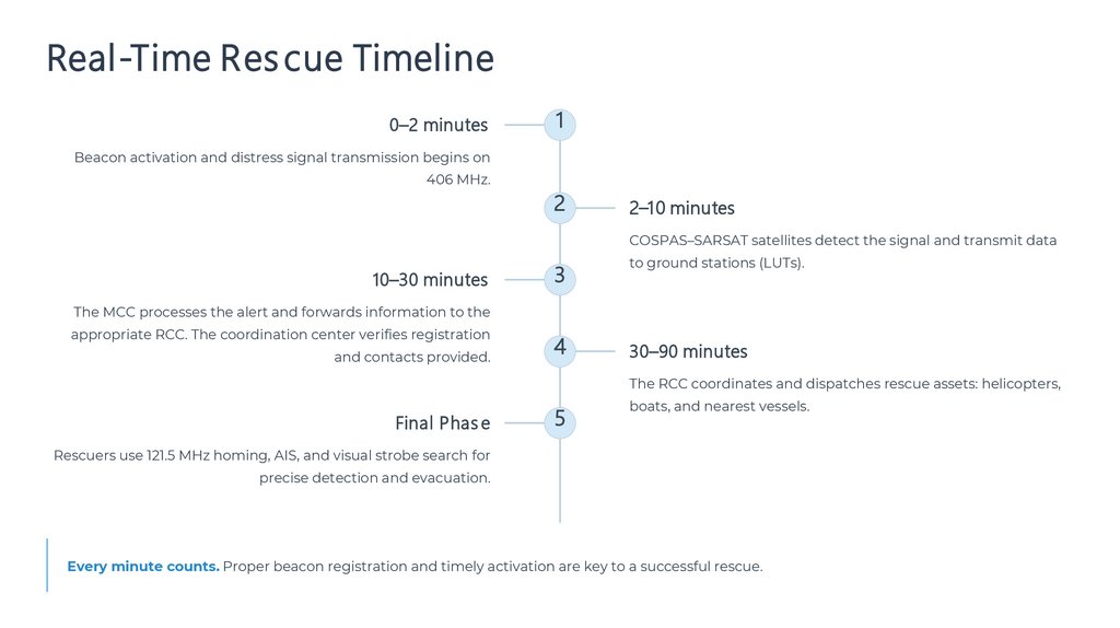
Real-Time Res cue Timeline0–2 minutes
1
Beacon activation and distress signal transmission begins on
406 MHz.
2
2–10 minutes
COSPAS–SARSAT satellites detect the signal and transmit data
10–30 minutes
3
to ground stations (LUTs).
The MCC processes the alert and forwards information to the
appropriate RCC. The coordination center verifies registration
and contacts provided.
4
30–90 minutes
The RCC coordinates and dispatches rescue assets: helicopters,
Final Phas e
5
boats, and nearest vessels.
Rescuers use 121.5 MHz homing, AIS, and visual strobe search for
precise detection and evacuation.
Every minute counts. Proper beacon registration and timely activation are key to a successful rescue.