


 География
Похожие презентации:

")


")


Russia-Korea-China borderland and Korean migrations: a case study of the XIX century “Map of Russia”
1. The Committee for Promotion of Ming-Qing Studies, Academia Sinica June 19, 2014. Taipei Russia-Korea-China borderland and Korean migrations: a case study of the XIX century “Map of Russia” 俄國輿地圖
Vradiy SergeyInstitute of History, Archeology and Ethnology of Peoples of the Far East
Russia Academy of Sciences Far Eastern Branch
vradis@yandex.ru
1
2. The main questions
Revealing of the MapAttribution and dating of the manuscript
The content
2
3.
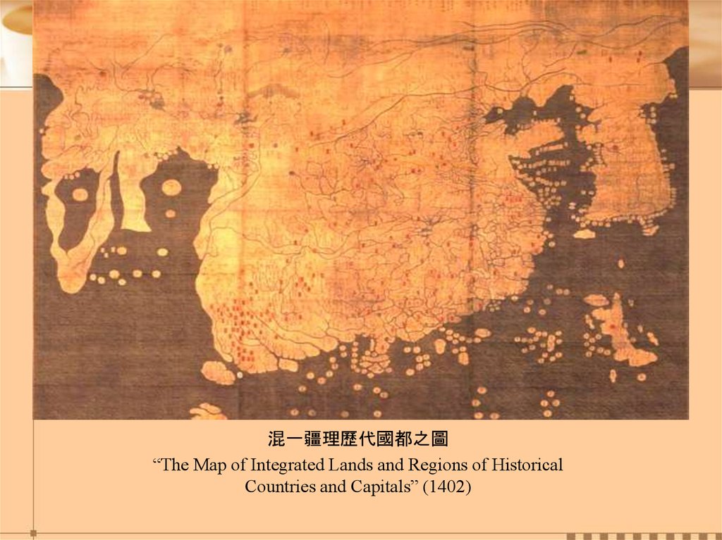
混一疆理歷代國都之圖“The Map of Integrated Lands and Regions of Historical
Countries and Capitals” (1402)
4.
45.
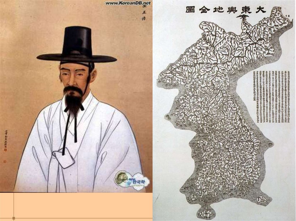
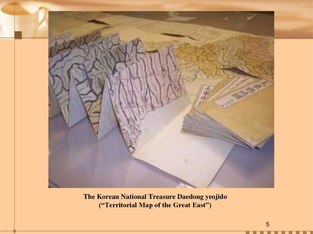
The Korean National Treasure Daedong yeojido(“Territorial Map of the Great East”)
5
6.
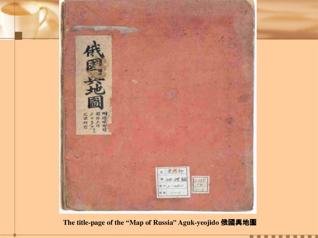
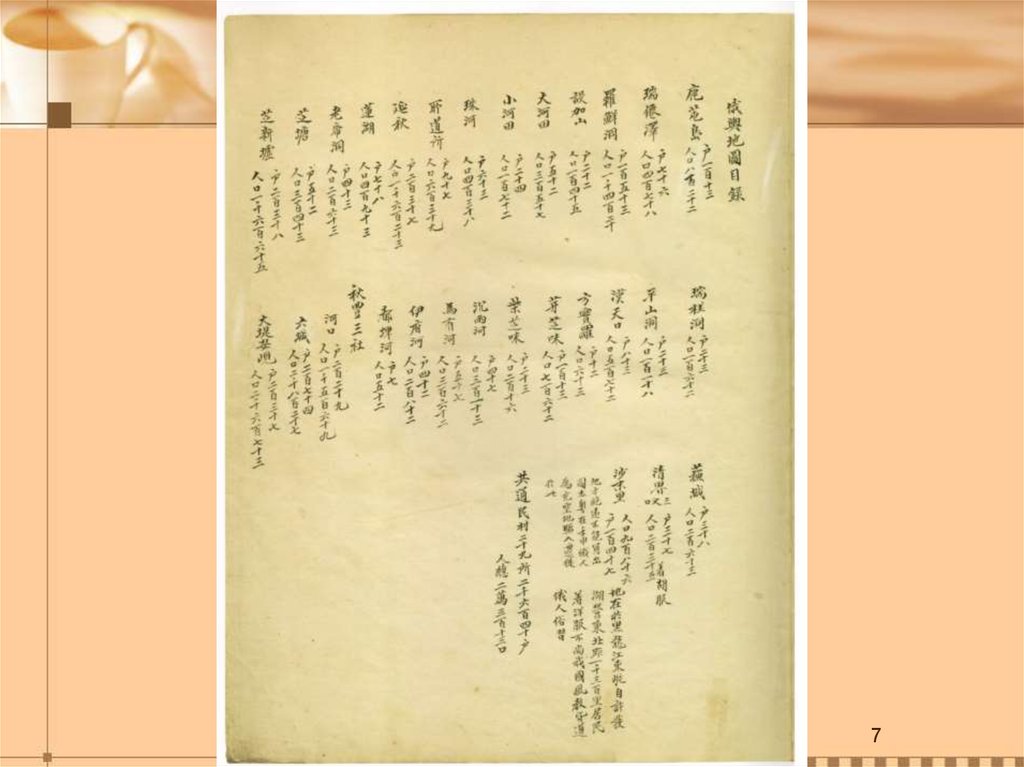
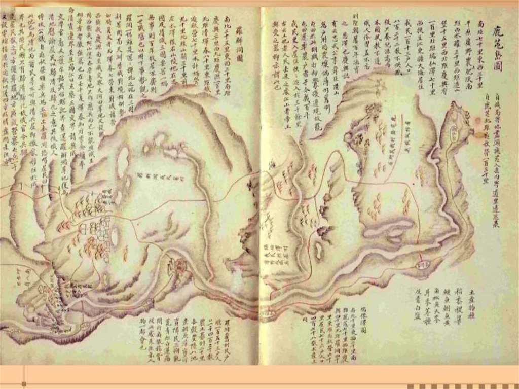
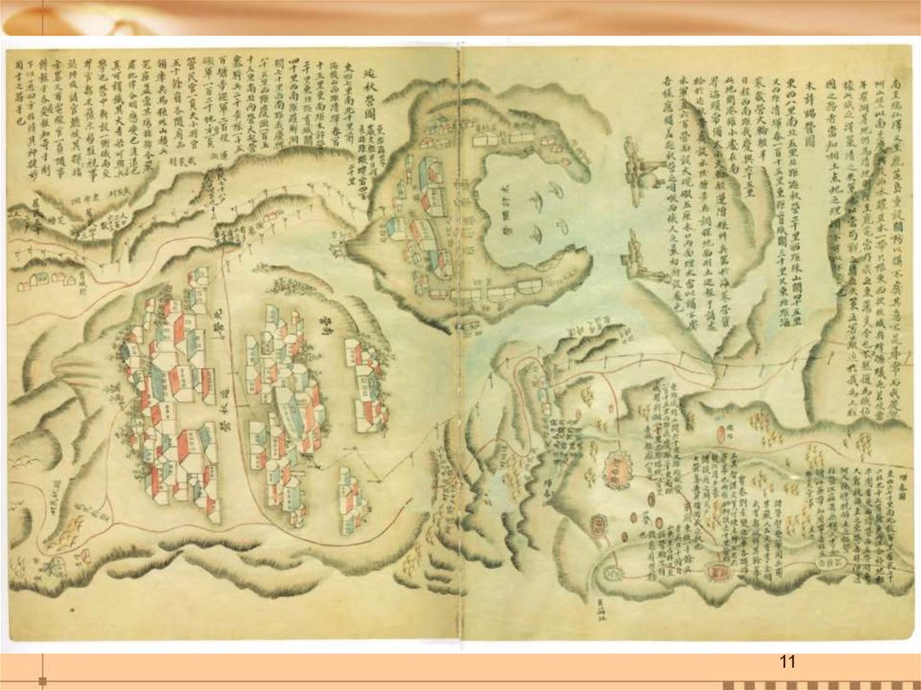
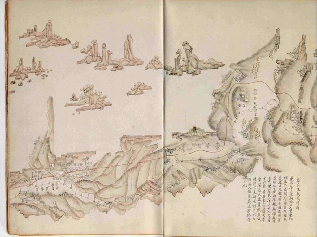
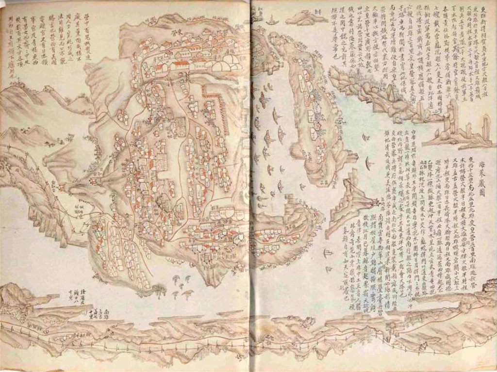
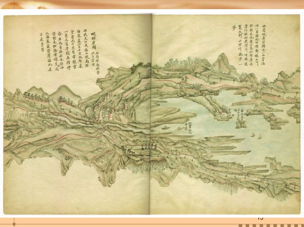
The title-page of the “Map of Russia” Aguk-yeojido 俄國輿地圖7.
78.
9.
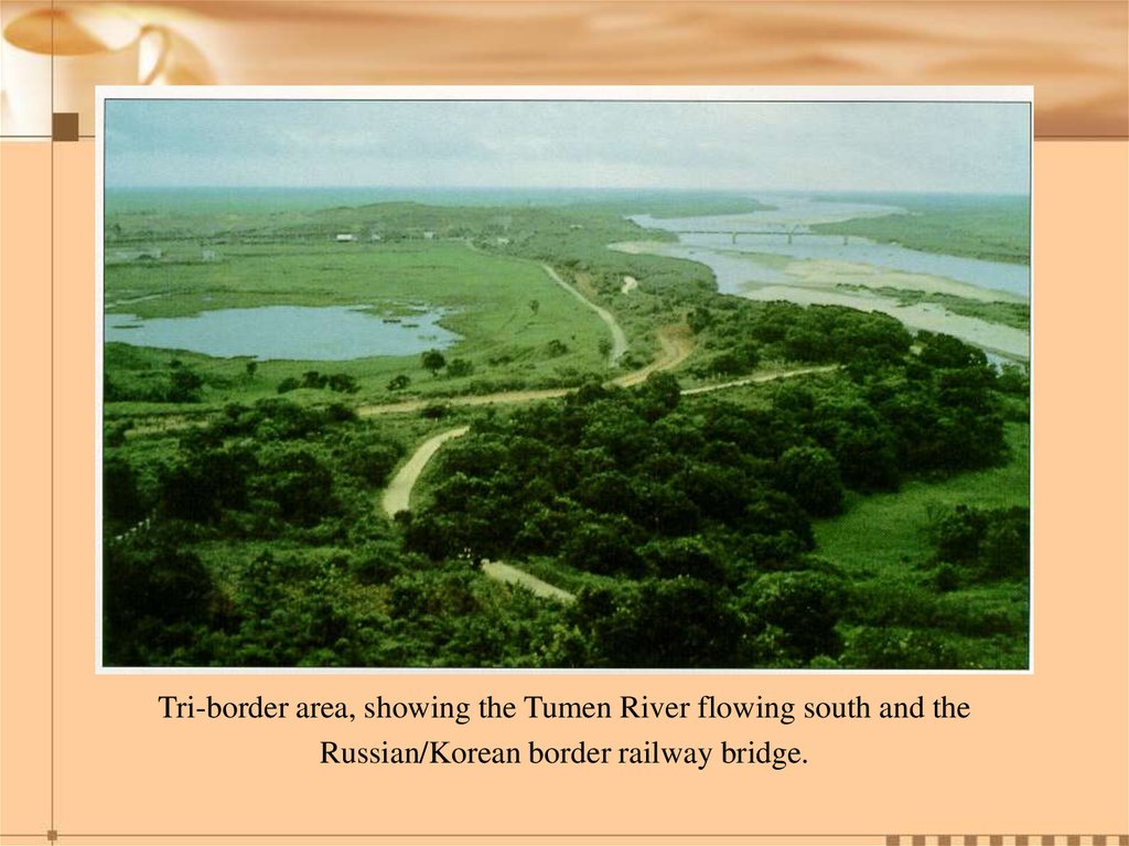
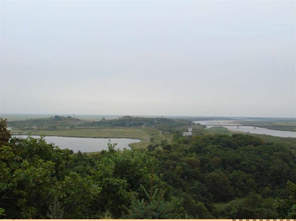
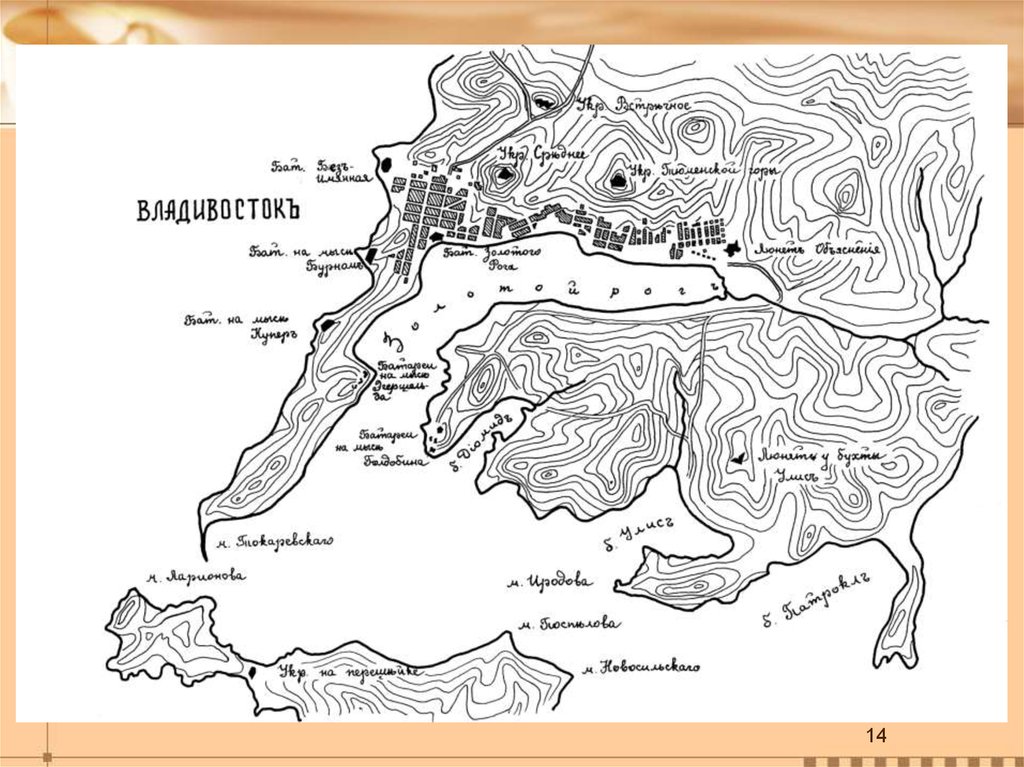
Tri-border area, showing the Tumen River flowing south and theRussian/Korean border railway bridge.