


 Информатика
Похожие презентации:


")

")
International and national spatial data infrastructures (SDI)
1.
1INTERNATIONAL AND NATIONAL
SPATIAL DATA INFRASTRUCTURES (SDI)
2.
2Theme 1. INTRODUCTION TO THE DISCIPLINE
3.
3The goal of the academic discipline is to form students'
requisite knowledge, skills and expertise on an application of
methodological bases and technological-organizational
approaches for development of international and national
Spatial Data Infrastructures (SDI) as technologies, policies,
standards, and human resources necessary to acquire, process,
store, distribute, and improve utilization of spatial data.
4.
4As a result of academic discipline study, students are obliged:
1) To know:
a) General principles and approaches to SDI development;
b) Technology of spatial data development for SDI;
c) Technology of metadata development for SDI;
d) Technology of Spatial Data Catalogues' development;
e) Technology of spatial data visualization for SDI;
f) Technology of open spatial access in SDI;
g) Technologies of different SDI services;
h) Approaches to outreach and capacity building of SDI;
5.
52) To be able to:
a) Define the factors for an effective SDI organization;
b) Set interoperable levels of SDI;
c) Implement necessary approaches for spatial data
development concerning SDI;
d) Determine linkages between spatial data and metadata in
SDI;
e) Specify the usage of Distributed Spatial Data Catalog
Services;
f) Operate with Web Mapping Service (WMS) Interfaces;
g) Provide the open spatial access in SDI;
h) Use different SDI services;
i) Provide SDI outreach and capacity building taking into
consideration international environmental cooperation.
6.
61.1. SDI development preconditions
1. At the United Nations Conference on Environment and
Development in Rio de Janeiro in 1992, a major resolution
was passed to focus on reversing the impacts caused by
environmental deterioration.
2. The Agenda 21 resolution establishes measures to
address deforestation, pollution, depletion of fish stocks,
toxic wastes etc.
7.
73. The importance of geographic information to support
decision-making and management of these growing national,
regional, and global issues was cited as critical:
– At the 1992 Rio Summit;
– By a special session of the United Nations General
Assembly assembled in 1997 to appraise the implementation
of the Agenda 21.
4. A landmark effort was made to illustrate the capabilities,
benefits, and possibilities of using online digital geographic
information for sustainable development:
– at the World Summit on Sustainable Development in
Johannesburg, South Africa in 2003.
8.
8Notes.
1. Geographic information – facts that are obtained and/or
can be obtained as a result of spatial data operating.
2. Spatial data (syn. geospatial data, geographic data,
georeferenced data, geodata) – data concerning spatial
features, which are a combination of such data two
components:
– position(al) data;
– attributive (nonpositional) data;
– both of which, including conjointly, has a time dimension
also.
9.
93. Spatial features – spatial components of real world, which
are presented in computerized (digital) form in order to
display geographic objects, processes and phenomenon and
are divided into four principal initial types:
1) Point features (points);
2) Line features (lines);
3) Polygon (area) features (polygons);
4) Volumetric features (surfaces).
10.
105. Geographic information is vital to making sound decisions
at the local, regional, and global levels.
6. Crime management, business development, flood
mitigation, environmental restoration, community land use
assessments and disaster recovery are just a few examples of
areas in which decision-makers are benefiting:
– From geographic information;
– Together with the associated infrastructures (i.e. Spatial
Data Infrastructure or SDI) that support:
a) Information discovery;
b) Information access;
c) Use of this information in the decision-making
process.
11.
117. However:
1) Information is an expensive resource;
2) For this reason appropriate information and the
resources to fully utilize this information may not always be
readily available, particularly in the developing world.
8. Many national, regional, and international programs and
projects are working to:
– Improve access to available spatial data:
– Promote its reuse;
– Ensure that additional investment in spatial information
collection and management results in an ever-growing,
readily available and useable pool of spatial information.
12.
129. This is true of many initiatives even if they are not actually
labeled as “SDI initiatives”:
– An example of this is the Environment Information
System Program in sub-Saharan Africa (EIS-SSA);
– An emphasis on harmonizing standards for spatial data
capture and exchange, the coordination of data collection and
maintenance activities and the use of common data sets by
different agencies may also feature in such initiatives, although
these activities by themselves do not constitute a formal SDI.
10. In regions characterized by an availability of geographic
information, in combination with the power of GIS, decision
support tools, data bases, and the World Wide Web and their
associated interoperability, the way of solving for critical
social, environmental, and economic problems is changing
rapidly.
13.
13Note. Interoperability:
1) (in the informatization scope) a capability to communicate,
execute programs, or transfer data among various functional
units of information systems in a manner that requires the
user to have little or no knowledge of the unique
characteristics of those units;
2) (in general) a property referring to the ability of diverse
systems and organizations to work together (inter-operate).
14.
1411. However:
1) Even in the new era of networked computers, the social
habits of the past continue to prohibit users from finding and
using critical geographic information;
2) This can lead to:
– Either the abandoning of a proposed project;
– Or to unnecessary (and expensive) recapture of existing
geographic information;
– In many agencies there is still the lost opportunity to
reuse incidental digital geographic information collected for
other purposes.
15.
1512. There is a clear need, at all scales, to be able to access,
integrate and use spatial data from disparate sources in
guiding decision making.
13. Our ability then, to make sound decisions collectively at
the local, regional, and global levels, is dependent on the
implementation of SDI that provides for compatibility across
jurisdictions that promotes data access and use.
14. Only through common conventions and technical
agreements will it be easily possible for local communities,
nations and regional decision-makers to discover, acquire,
exploit and share geographic information vital to the decision
process.
16.
1615. The use of common conventions and technical
agreements also makes sound economic sense by:
– Limiting the cost involved in the integration of
information from various sources;
– Eliminating the need for parallel and costly development
of tools for discovering, exchanging and exploiting spatial
data.
16. The greater is the limitation on available resources for
SDI development, the greater is the incentive for achieving
alignment between initiatives to build SDI.
17.
171.2. The term 'Spatial Data Infrastructure' (SDI):
1) Is often used to denote the relevant base collection of
technologies, policies and institutional arrangements that
facilitate the availability of and access to spatial data;
2) Provides a basis for spatial data discovery, evaluation,
and application for users and providers within all levels of
government, the commercial sector, the non-profit sector,
academia and by citizens in general.
So, Spatial Data Infrastructure – the technology, policies,
standards, and human resources necessary to acquire, process,
store, distribute, and improve utilization of spatial data.
18.
181.3. Requirements to SDI:
1) SDI must be more than a single data set or database;
2) SDI hosts:
a) Position data and attributes;
b) Sufficient documentation (metadata);
c) A means to discover, visualize, and evaluate the data
(catalogues and Web mapping);
d) Some methods to provide access to the geographic data;
e) Additional services or software to support applications
of the data;
f) The organizational agreements needed to coordinate
and administer data on a local, national, regional and or transnational scale.
19.
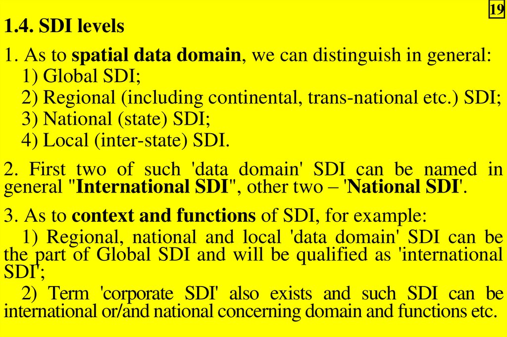
191.4. SDI levels
1. As to spatial data domain, we can distinguish in general:
1) Global SDI;
2) Regional (including continental, trans-national etc.) SDI;
3) National (state) SDI;
4) Local (inter-state) SDI.
2. First two of such 'data domain' SDI can be named in
general "International SDI", other two – 'National SDI'.
3. As to context and functions of SDI, for example:
1) Regional, national and local 'data domain' SDI can be
the part of Global SDI and will be qualified as 'international
SDI';
2) Term 'corporate SDI' also exists and such SDI can be
international or/and national concerning domain and functions etc.
20.
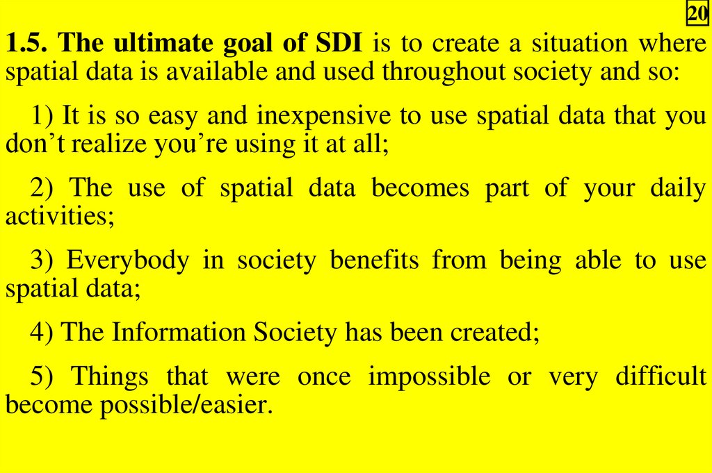
201.5. The ultimate goal of SDI is to create a situation where
spatial data is available and used throughout society and so:
1) It is so easy and inexpensive to use spatial data that you
don’t realize you’re using it at all;
2) The use of spatial data becomes part of your daily
activities;
3) Everybody in society benefits from being able to use
spatial data;
4) The Information Society has been created;
5) Things that were once impossible or very difficult
become possible/easier.
21.
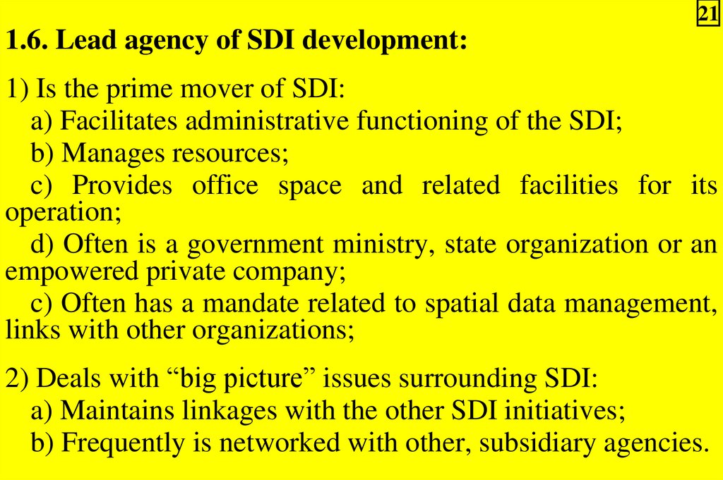
211.6. Lead agency of SDI development:
1) Is the prime mover of SDI:
a) Facilitates administrative functioning of the SDI;
b) Manages resources;
c) Provides office space and related facilities for its
operation;
d) Often is a government ministry, state organization or an
empowered private company;
c) Often has a mandate related to spatial data management,
links with other organizations;
2) Deals with “big picture” issues surrounding SDI:
a) Maintains linkages with the other SDI initiatives;
b) Frequently is networked with other, subsidiary agencies.
22.
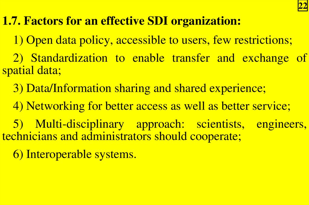
221.7. Factors for an effective SDI organization:
1) Open data policy, accessible to users, few restrictions;
2) Standardization to enable transfer and exchange of
spatial data;
3) Data/Information sharing and shared experience;
4) Networking for better access as well as better service;
5) Multi-disciplinary approach: scientists, engineers,
technicians and administrators should cooperate;
6) Interoperable systems.
23.
231.8. Generalized SDI implementation stages:
1) Creating an awareness of need for SDI;
2) Identifying system, organization and network
requirements;
3) The translation of organizational needs into functional
requirements;
4) System evaluations;
5) Justifying the system acquisition;
6) The system acquisition and start up;
7) The operational phase.
24.
Fig.1.1 – SDI institutional framework (1.9)24
25.
251.10. Advantages of SDI development:
1) Spatial data are standardized and better maintained:
a) Revision and updating are easier;
b) Easier to search for, analyze and represent data;
c) Data products are more valuable;
d) Data can be shared and exchanged more freely;
e) Productivity of the staff is improved;
f) Time and money are saved;
g) Better decisions can be made;
26.
261.10. Advantages of SDI development:
2) Spatial data operations are faster:
a) Faster data acquisition and pre-processing;
b) Faster database management and retrieval;
c) Faster spatial measurement and analysis;
d) Faster graphic output and visualization.
27.
271.11. SDI possible benefits for the society:
1) Social infrastructure...better society;
2) Environmental infrastructure....better management;
3) Urban infrastructure.....better life;
4) Economic infrastructure.......better business;
5) Educational infrastructure......better knowledge.
28.
281.12. SDI funding:
1) Funding for SDI development is derived from public
sources (e.g. taxes or export/import revenue) and private
sources (e.g. business profits);
2) Public funding requires justification for the socioeconomic value of SDI development;
3) Such justifications include:
a) Greater efficiency in storage, analysis and acquisition of
geospatial data and information;
b) Faster application of this information to real world problems;
c) Financial savings resulting from these advantages;
d) SDI was applicable to the key socio-environmental and
land based problems;
e) The technology allowed more interaction between
developing and developed countries.
29.
291.13. Recovery of costs on SDI development:
1) Cost recovery models are based on the financial benefits,
which offset the costs from a cost benefit perspective;
2) SDI involves both high costs and strong potential
benefits;
3) The higher the applicability, accessibility and
availability of the techniques and information, the greater the
cost recovery;
4) Effective human management increases the returns and
hence increases the benefits.
30.
301.14. SDI tax funding:
1) Benefits provide the justification for tax support for SDI
development;
2) SDI, in producing value added products, provides the
potential of financial revenue to support the contribution of
taxes. This encourages:
a) The cooperation of private and public organizations;
b) The increased application of SDI, as an economic
development, rather than a costly liability.
31.
311.15. Examples of SDI economic benefits:
1) Great Britain:
a) £79-136 billion created by SDI activities in 1996;
b) ~ £200 million direct return from sale of spatial data and
services;
2) The United States:
a) $3.5 trillion return from 12 core agencies;
b) Benefit costs $4 – 15 billion per year, depending on
estimate, plus indirect returns;
3) Australia;
a) Cost of spatial data is 1/6 of what it would be without
SDI;
b) Saved $5 billion over 5 years.
32.
321.16. Types of SDI legislation assistance:
1) Pre-existing laws covering information access, including
copyright and patent laws;
2) Privacy laws, applied both to information access, and the
use of remote sensing methods;
3) Laws governing contacts between:
a) Central and local government;
b) Local public sector bodies;
c) Private companies and individuals;
4) Laws establishing the capacity of SDI;
5) Laws that repeal impediments to the smooth functioning of
an expanding SDI.
33.
331.17. SDI peculiarities
1. SDI provides the ideal environment to connect applications
to data:
– Influencing both data collection and applications construction
through minimal appropriate standards and policies.
2. The creation of specific organizations or programs for
developing or overseeing the development of SDI can be seen
as the logical extension of the long practice of coordinating
the building of other infrastructures necessary for ongoing
development, such as transportation or telecommunication
networks.
3. Just as SDI programs of necessity involve the alignment of
scarce resources for achieving success, so too it is necessary
to ensure that the SDI initiatives develop in harmony with
each other in order to maximize the impact of these
programs.
34.
344. In reality, many initiatives are working in isolation, not
necessarily developing in harmony with others and
consequently unable to reap the benefits of working together.
5. Anyone:
– Who is involved in a project of which spatial information
forms an integral part;
– Who intends leaving a legacy of spatial data or tools to
exploit the data that lasts beyond the period of funding for the
project;
– Is, by definition, participating in some of the fundamental
elements required by an SDI.
6. As coordination between organizations expands, these
projects very often lay the foundations on which initiatives
formally dedicated to the establishment of SDI can then
build.
35.
351.18. The most prominent examples of formal SDI
programs are on a national scale:
1) Most of these are driven by the national or federal
government, e.g.:
a) The NSDI in the USA;
b) The SNIG in Portugal;
c) Australia’s ASDI;
d) Malaysia’s NaLIS;
e) South Africa’s NSIF;
f) Colombia;
g) The multi-national INSPIRE Initiative in Europe etc.;
2) There are exceptions, which have largely been driven by
the private sector, such as:
a) The Uruguay Clearinghouse;
b) NGDF in the United Kingdom.
36.
361. In most cases the need for wide participation in the
development of useful SDI is acknowledged, and so privatepublic partnerships are encouraged.
2. The beneficiaries of SDI are generally seen to derive from
the public and private sectors, academia and nongovernmental organizations, as well as individuals.
3. Federal countries are often able to build their national SDI
programs on SDI programs being driven by provincial or
state governments (e.g. the ASDI of Australia).
4. Regional SDI initiatives often arise out of existing
multilateral structures e.g.:
– the Permanent Committee for GIS Infrastructure in Asia
and the Pacific was formed through the UN Regional
Cartographic Conference for the Asia-Pacific region etc.