


 Английский язык
Похожие презентации:


The east region of Kazakhstan
1.
2.
• 1.The emblem & square• 2. Administrative division.
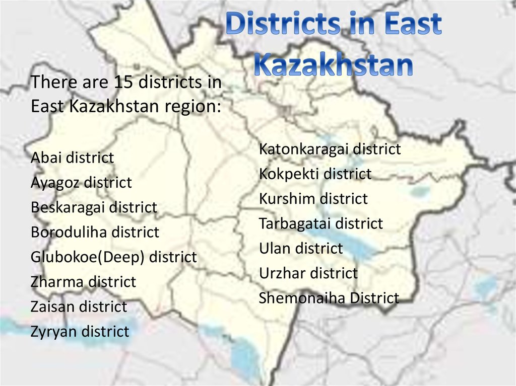
Districts
• 3.Mayor of the region
• 4. Physically-geographical location
1. The place
2. Land relief
3. Climate
4. Inner water
5.Economy of the region
6.People in region
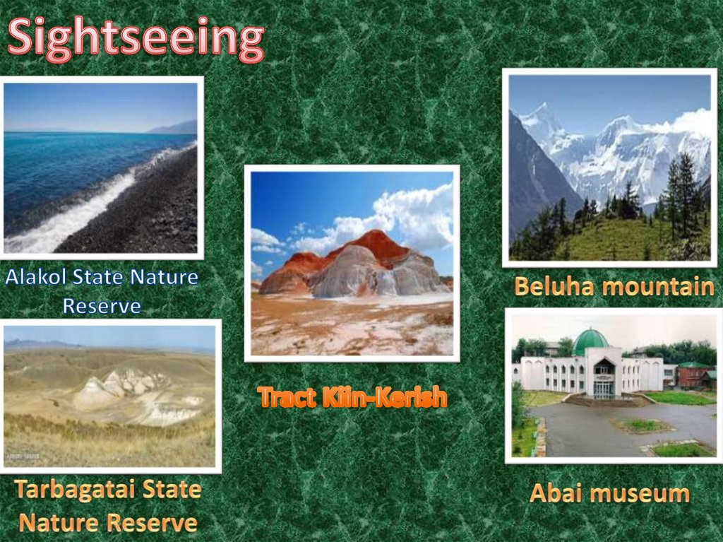
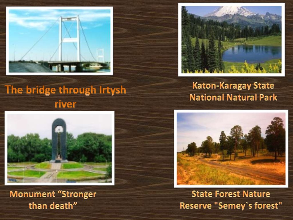
7.Sightseeings & 2
8.The end
3. East Kazakhstan`s emblem
It Created by NurtayZhardemov in 12 march
2015
The territory is 151,339 km²,
which is 5.6% of the area of
Kazakhstan. According to this
indicator, the region ranks 8th
in the country.
4. Administative division
5.
There are 15 districts inEast Kazakhstan region:
Abai district
Ayagoz district
Beskaragai district
Boroduliha district
Glubokoe(Deep) district
Zharma district
Zaisan district
Zyryan district
Katonkaragai district
Kokpekti district
Kurshim district
Tarbagatai district
Ulan district
Urzhar district
Shemonaiha District
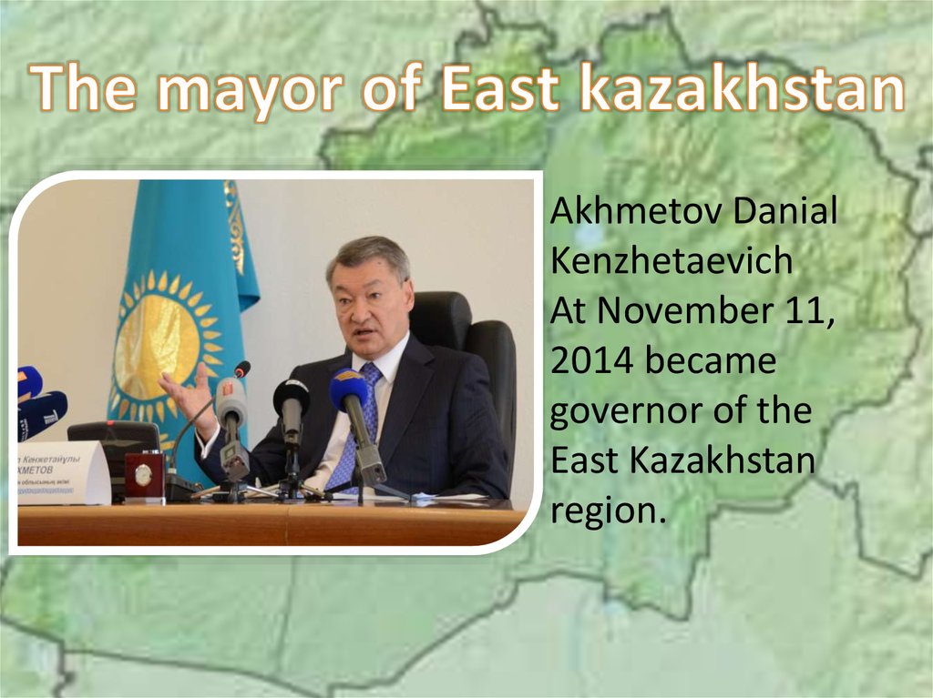
6.
Akhmetov DanialKenzhetaevich
At November 11,
2014 became
governor of the
East Kazakhstan
region.
7. Physically-geographical location
East-Kazakhstan region Borders with three regions ofKazakhstan, with one region of China and with two
regions of Russia: in the northwest - with the Pavlodar
region of Kazakhstan;
• in the west - with the Karaganda region of
Kazakhstan;
• in the south - with the Almaty region of Kazakhstan;
• in the east, with the Xinjiang Uygur Autonomous
Region of China;
• in the north - with the Altai Territory and the Altai
Republic of the Russian Federation. The highest point
is Belukha Mountain.
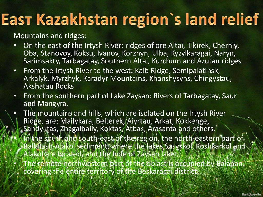
8.
Mountains and ridges:• On the east of the Irtysh River: ridges of ore Altai, Tikirek, Cherniy,
Oba, Stanovoy, Koksu, Ivanov, Korzhyn, Ulba, Kyzylkaragai, Naryn,
Sarimsakty, Tarbagatay, Southern Altai, Kurchum and Azutau ridges
• From the Irtysh River to the west: Kalb Ridge, Semipalatinsk,
Arkalyk, Myrzhyk, Karadyr Mountains, Khanshysyns, Chingystau,
Akshatau Rocks
• From the southern part of Lake Zaysan: Rivers of Tarbagatay, Saur
and Mangyra.
• The mountains and hills, which are isolated on the Irtysh River
Ridge, are: Mailykara, Belterek, Aiyrtau, Arkat, Kokkenge,
Sandyktas, Zhagalbaily, Koktas, Atbas, Arasanta and others.
• In the south and south-east of the region, the north-eastern part of
Balkhash-Alakol sediment, where the lakes Sasykkol, Koshkarkol and
Alakol are located, and the hole of Zaysan lake.
• The remote northwestern part of the oblast is occupied by Balapan,
covering the entire territory of the Beskaragai district.
9.
ClimateThe region's climate is very continental.
Temperature:
Average annual air temperature in January
in the plain region -17 ° С
high-temperature intermediate hollows -26 ° С
July 19 - 23 ° C.
Precipitation:
in the north-east 350-380 mm
250-300 mm in the south-east
between 200 and 250 mm in the west
The ore is 1000-1500 mm in the western part of Altai
The vegetation period in the region is 175 - 200 days.
10.
11.
EconomyEast Kazakhstan region is the largest industrial and
agricultural region of Kazakhstan. The main branch
of the economy is industry. It includes mining,
non-ferrous metallurgy, energy, mechanical
engineering, building materials industry,
woodworking, food and light industry. 2006 All
industries of the region produced goods worth
399.1 billion tenge, which is 6.2% of the country's
industrial output.
12.
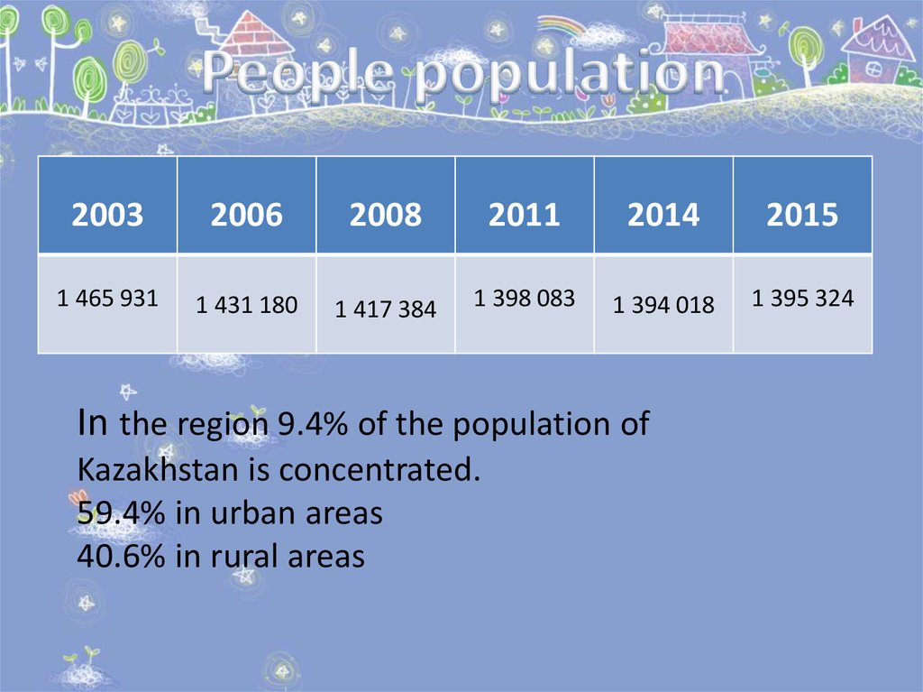
20032006
2008
2011
2014
2015
1 465 931
1 431 180
1 417 384
1 398 083
1 394 018
1 395 324
In the region 9.4% of the population of
Kazakhstan is concentrated.
59.4% in urban areas
40.6% in rural areas