


 География
Похожие презентации:


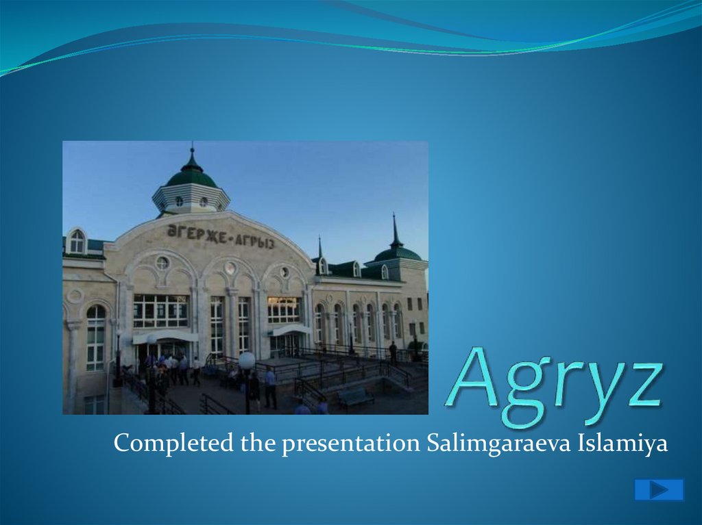
Agryz
1.
Completed the presentation Salimgaraeva Islamiya2.
ContentGeography
History
Economy
Industry
Transport
3.
GeographyThe area is 8.6 km2. The city is located in the extreme
North-East of Tatarstan, on the border with Udmurtia,
at the foot of the Sarapul hill, on the Agryzka river (a
small tributary of the IZH river, the Volga basin), 304
km East of Kazan and 36 km South of Izhevsk.
4.
HistoryKnown since 1646. At the beginning of the XX century,
there was a volost government, a school, and 2
mosques in Agryz. During the Izhevsk-Votkinsk
uprising, Agryz was occupied by Izhevsk rebels, and
heavy fighting took place in the city and its
surroundings until the end of October 1918. Until 1920,
it was the center of Agryzsky volost of Sarapulsky
uyezd of Vyatka province. Since 1921, the center of the
Agryz Canton of TASSR, since 1924, a small town
subordinate to the Yelabuga cantonal Executive
Committee.
5.
EconomyFood, building materials, woodworking industry.
Printing house. 4 secondary and children's music
schools, vocational schools, ice Palace, swimming
pool, stadium, local history Museum, Central district
hospital, railway hospital. 2 mosques.
6.
IndustryFood industry enterprises (bakeries PO
"Khlebopishchekombinat" and LLC "Bulgar-ikmek",
butter and dairy plant LLC "Agryzsky MK"),
enterprises for the production of construction
materials (LLC "Agryzsky plant of building
materials"), woodworking (LLC "MTM"), railway
workshops.
7.
TransportAn important junction of railway lines to Kazan,
Yekaterinburg, Izhevsk, Akbash with the same name
station and depot.Intercity bus 628 "Agryz —
Naberezhnye Chelny" and suburban 303 "Agryz —
Izhevsk/UAS" runs.